Riverarch Equity Partners Portfolio company Barr Geospatial Rebrands as Forsite
In April 2026, Barr Geospatial Solutions announced that it was rebranding as Forsite, adopting a new name and website, forsitegeo.com , to better reflect the company’s evolution and unify its capabilities under a single identity.
The name Forsite reflects the company’s focus on helping clients see what is coming and act with greater confidence. By combining aerial data, field expertise and advanced analytics, Forsite enables organizations to move from reactive decision-making to proactive, forward-looking insight across energy infrastructure, utilities, forestry and natural resource management.
Forsite brings together the capabilities of Barr Air Patrol, Airborne Imaging Inc., Northwest Management Inc., Forcorp, Forsite Consultants Ltd. and partnership with Flyscan Systems Inc. under one brand, aligning aerial LiDAR acquisition, pipeline patrol and inspection, wildfire risk modeling, forest inventory, geohazard detection and environmental field services into a more connected, client-focused approach.
Forsite supports mission-critical applications across the industries it serves, including:
- Utility vegetation management and grid risk mitigation
- Wildfire fuels mapping, fire behavior modeling and risk assessment
- Pipeline patrol, leak detection and right-of-way monitoring
- Geohazard detection and infrastructure risk assessment
- Digital forest inventory and land management planning
By connecting insights from the air and the field, Forsite helps organizations identify risks earlier, prioritize resources and operate more effectively in complex environments.
Forsite’s core platforms include:
- FireView® for wildfire fuels mapping and fire behavior modeling
- RiskView™ for utility vegetation management and decision support
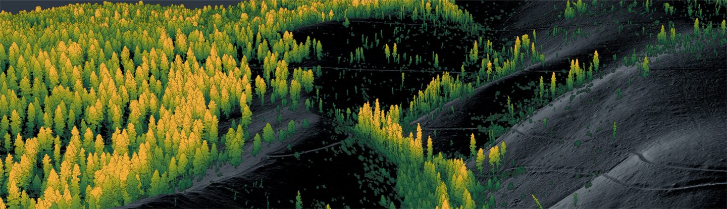
- ForestView® for LiDAR-based forest inventory and analysis
- PatrolView™ for pipeline patrol, monitoring and geohazard detection
These capabilities are supported by one of North America’s largest independent aerial LiDAR libraries and decades of experience across both aerial and field-based data collection.

Related news
-

January 11, 2024
Riverarch Equity Partners Portfolio Company Forta Acquires Helix SteelRiverarch Equity Partners (“Riverarch”), together with its portfolio company Forta, LLC (“Forta”), is pleased to announce the acquisition of Helix Steel, LLC (“Helix”).
Acquisition
-

March 5, 2024
New brand, New fund, Same ApproachRiverarch Equity Partners Announces $1.0 billion for Fourth Equity Fund and Rebranding.
Firm News
-

July 10, 2024
Riverarch Equity Partners Portfolio Company Barr GeoSpatial Acquires Forsite Consultants and Northwest ManagementRiverarch Equity Partners (“Riverarch”), together with its portfolio company Barr GeoSpatial Solutions (“BGS”), is pleased to announce the acquisitions of Forsite Consultants (“Forsite”) and Northwest Management, Inc. (“NMI”).
Acquisition
-
January 11, 2024
Riverarch Equity Partners Portfolio Company Forta Acquires Helix SteelRiverarch Equity Partners (“Riverarch”), together with its portfolio company Forta, LLC (“Forta”), is pleased to announce the acquisition of Helix Steel, LLC (“Helix”).
Acquisition
-
March 5, 2024
New brand, New fund, Same ApproachRiverarch Equity Partners Announces $1.0 billion for Fourth Equity Fund and Rebranding.
Firm News
-
July 10, 2024
Riverarch Equity Partners Portfolio Company Barr GeoSpatial Acquires Forsite Consultants and Northwest ManagementRiverarch Equity Partners (“Riverarch”), together with its portfolio company Barr GeoSpatial Solutions (“BGS”), is pleased to announce the acquisitions of Forsite Consultants (“Forsite”) and Northwest Management, Inc. (“NMI”).
Acquisition